Tehachapi Renewable Transmission Project (TRTP) Segments 1-11
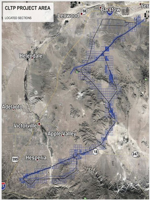
 The first major transmission project in California being constructed specifically to access multiple renewable generators in a remote renewable-rich resource area.TRTP segments 4 to 11 would include new and upgraded electric transmission lines and substations between eastern Kern County and San Bernardino County, spanning an area of approximately 173 miles.
- Period of performance 2009-2014
- Location of work – Los Angeles, Orange, Riverside and San Bernardino Counties
- Value of project – 4.5 billion per CPUC (SBS contract $1.9 million)
- Description of work performed – Construction support, land surveying, mapping, Record of Surveys preparation.
- Research
- Control Network
- Route identification and borehole locations
- 1000+ Towers staked
- 126 miles of access roads
- Aerial and LiDAR mapping
- 7 substations staked
- 7 Records of Surveys
- Zero days lost to injury or illness, had no performance issues reported.
 Our research provided survey related research materials from Los Angeles and San Bernardino Counties for SCE’s internal use. This effort included all Assessor Parcel Maps, Record Maps from Los Angeles and San Bernardino counties, centerline tie sheets from county and cities along the segments routes. Horizontal and Vertical information from various resources.
SBS provided a horizontal and vertical control network for the entire length of each segment. This effort was accomplished with GPS. Final reports were prepared for the basis of bearings and benchmark to be used on a future record of survey.
SBS provided route identification and borehole location staking for geotechnical efforts for Sections 4-11. This effort entailed extensive safety and environmental training. Most points had to be hiked in as most of the roads have been washed out from landslides and erosion.
Our survey crews provided SCE with tower staking data sheets for segments 4, 5, 6, 10, and 11. This effort included the setting of iron pipe (IP) at each tower centerline, in some of the most rugged and diverse terrain in California. Most towers had to be backed packed in as most all access road were washed out.
Future Tower As-built: verified the proposed centerline location of towers on Segments 7 and 8, prepared reports and exhibits showing as-built location and the record location.
 Mobile Mapping LiDAR Survey: A truck mounted mobile mapping scanner was used to drive the entire 16.72-mile route, round trip, (33.44 miles) in less than an hour. A point cloud was generated to extract 3d topographic pole data, anchors, driveways, pathways, utilities, edge of pavement and fences, which eliminated the need for a traditional aerial survey and reduced both time and cost of drafting a topographic base map.
 SBS worked extensively and seamlessly with SCE’s Survey Manager, Field Crews and Environmental and Safety Personnel, including numerous private and public agencies to provide the following services: