Saddleback Surveys,Inc. (SBS) provides Surveying, Mapping & Geospatial services for our Clients since 2004. From major capital improvement projects to residential lot surveys. From initial design topography through final mapping and construction staking.
Time and Cost Savings:
Saddleback Surveys has developed several methods and applied advanced technology to improve safety, save time and money for our clients.
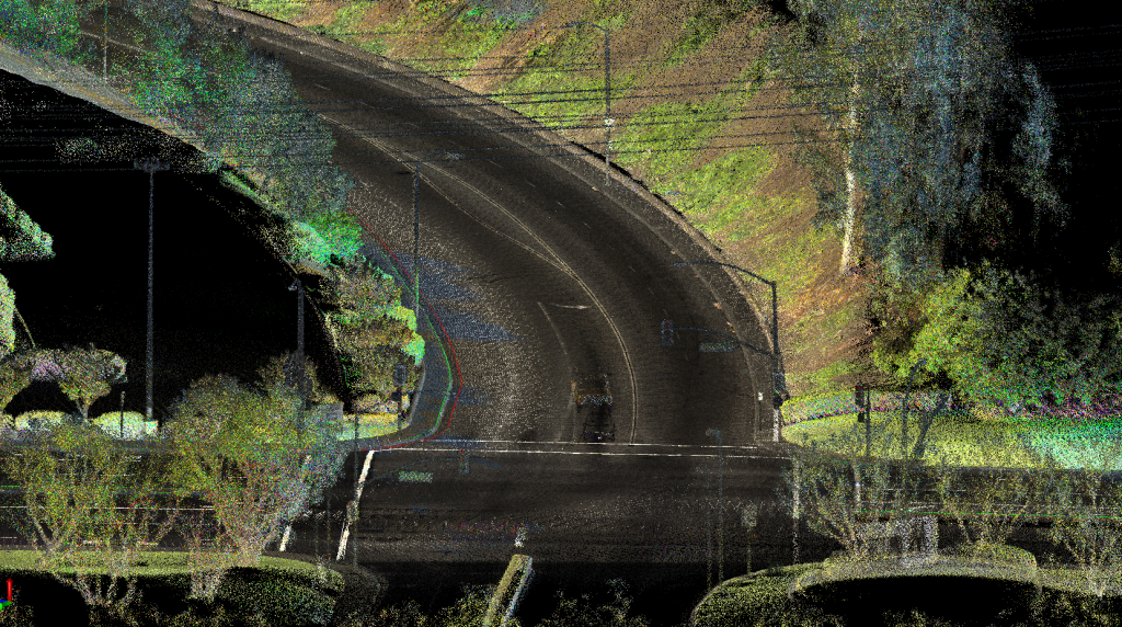
- Mobile Mapping– safely collect 1.7 million survey data points per second.
- Ground Penetrating Radar – avoid potholing
- Terrestrial Scanning, Drones and LiDAR
Some of the services we provide:
*Construction Staking and Land Development:
- Residential Subdivision Staking
- Commercial / Industrial Layout
- Tower and Access Road Staking
- Environmental
*Boundary Surveys:
- Subdivision Mapping
- Lot Line Adjustments
- Record of Surveys
- A.L.T.A. Surveys
- Easements and Legal Descriptions
*Design and Route Surveys:


- As-Built / Topographic Surveys
- Plan and Profile / Cross Section Surveys
- Utility Route and Inventory Surveys
*LiDAR and Scanning
- Mobile Mapping
- Terrestrial Scanning
- UAV / Drone Technology
*Miscellaneous Services:
- GPS & Control Surveys
- Photogrammetry
- Monitoring Surveys
- Ground Penetrating Radar
- Historical Preservation
- Well Monument Construction
Our Brochures


